Capture all your spectacular moments from a different perspective
Take your passion for photography to a whole new level with us
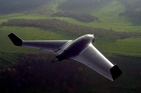
Now shoot all the aerial shots for your film in a much simpler way
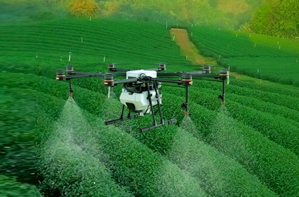
Agriculture
See your entire field and plan your planting pattern
Use for dispersing seeds and nutrients
Irrigate your field’s dry patches with our Drone’s advanced Multispectral/ Thermal sensors
Spray pesticides without affecting the soil ecosystem with Distance Measuring Instruments such as LiDAR (Light -Detection and Ranging) mounted on our Drones
Monitor your crops at times when there are no satellite images available
Building Scrutinization
Perform site survey quickly with our Drones fitted with High resolution Cameras
Plan your Building Elevation with the site’s aerial images
Conduct detailed analysis of High Rise buildings without climbing
Detect flaws early and save tremendous time, money and lives from Multi-storey Building collapse
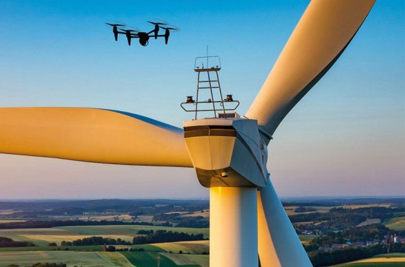
Inspection
Inspect Electricity lines spreading across more than hundred kilometres in a jiffy
Avoid Train accidents with more simple and frequent Railway Track inspection
Inspect Industrial machinery and pipelines for heat loss, dents, leakages and other faults
Inspect Wind Mills at inaccessible heights
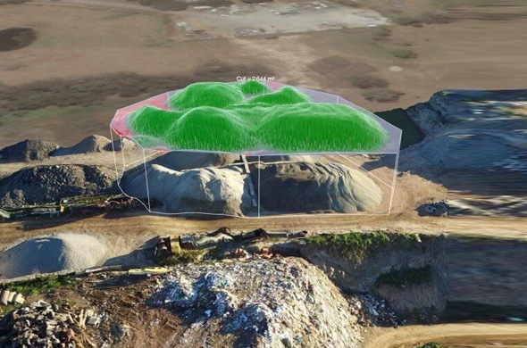
Land Surveying and Mapping
Collect highly detailed data within a short period of time
Conduct survey in a phased manner with less manpower and tools
Create Topographic maps with digital elevation models
Reveals the Archaeological remains beneath the Earth with next generation sensors
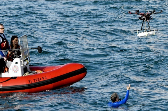
Search and Rescue
Drop food parcels to victims in a flood affected region
Search for missing persons or criminal suspects
Check for victims in Earthquake affected sites with Thermal imaging sensors
Easy pathfinder for fire-fighters to extinguish the fire and rescue the victims
Wildlife Flora & Fauna Conservation
Efficient Data collection of forest cover made simple for wildlife researchers
Cost and Time efficient for Animal census and flock counting
Monitor Poaching activities at ease from your basecamp and arrest poachers sooner than ever
Survey Bird Nests at an height easily and more accurately